Tue, February 20 EDT
Google Maps
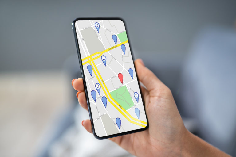
…mapping application that offers satellite imagery, street maps, and street-view perspectives. It also has a route planner for your preferred transportation method, be it foot, car, bicycle or public transportation….